Managing VNAV – Vertical Navigation and ATC Crossing Restrictions.
The Garmin Perspective Touch avionics platform is feature-rich and highly capable. Will show you how VNAV Vertical Navigation is set up… I will show you a VNAV pilot technique in the video below.
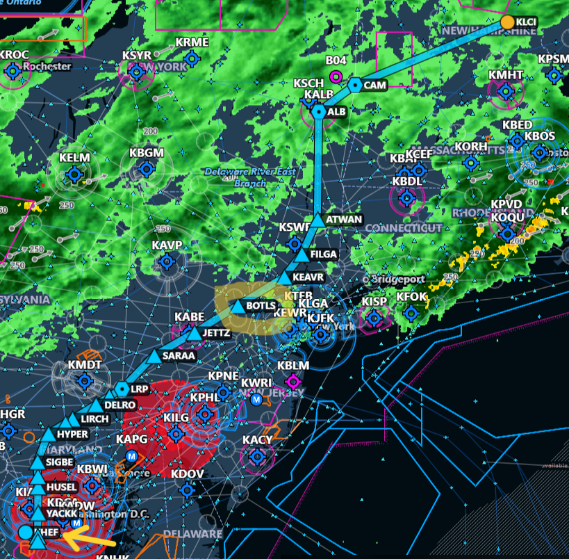
Several viewers asked me to demonstrate how vertical navigation profiles and ATC crossing restrictions are entered in the Garmin Perspective Touch avionics system. A crossing restriction occurs when ATC tells a pilot to cross a specific point on the earth at a specific altitude. The point of the restriction can be over a specific waypoint or fix or navigational aide, or a specific distance before or after that fix. It is always associated with a crossing altitude restriction.
Normally, an aircraft has to descent at a specific time and at a vertical speed in order to meet the restriction. It can involve complicated speed, distance and time calculations. No worries though since it is made easy by the avionics system IF you pay attention to set up.
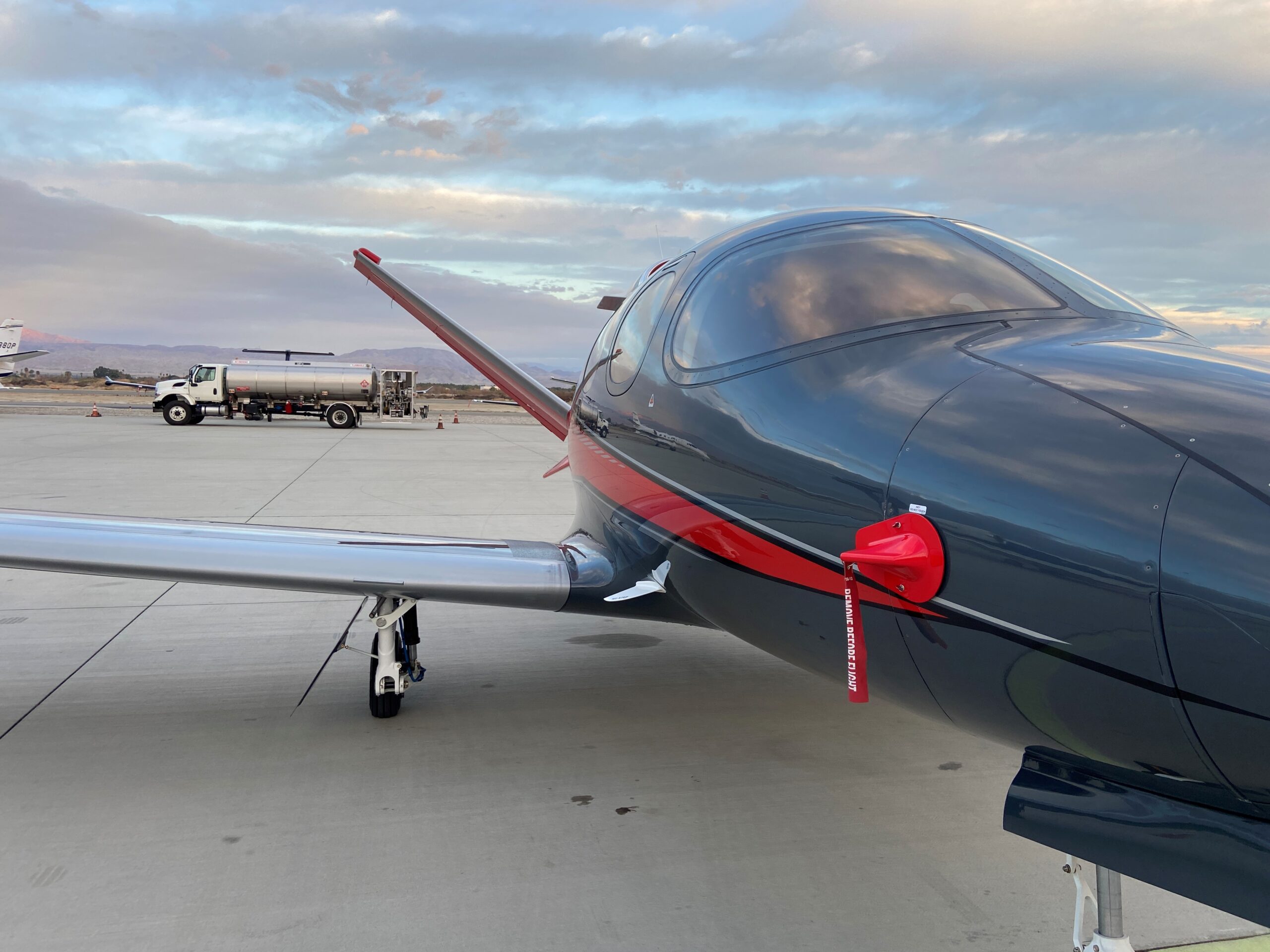
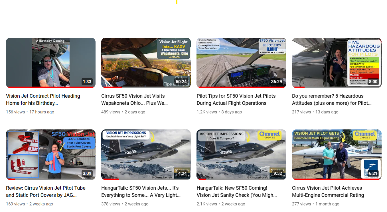
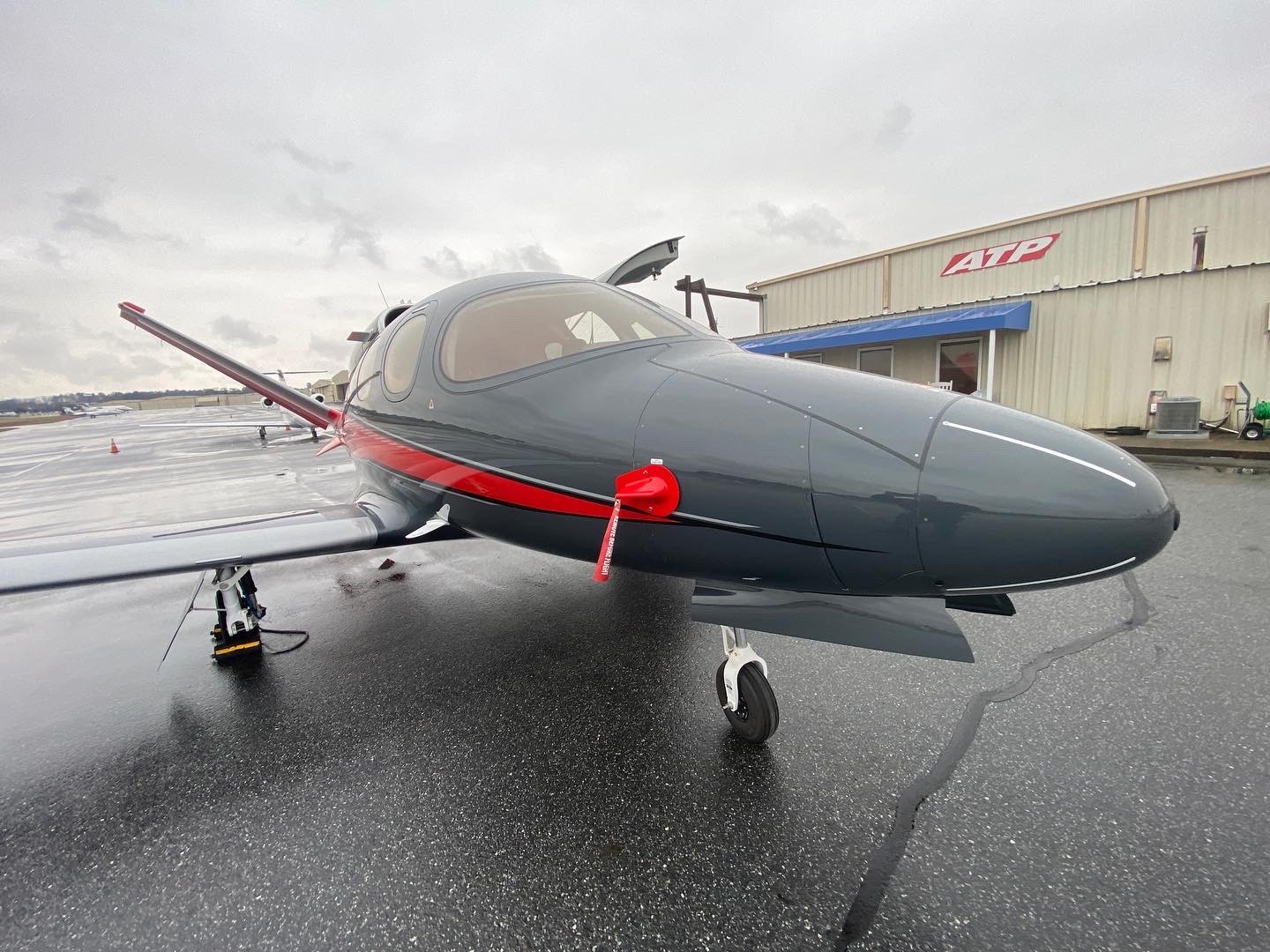
This is an example of what a pilot might receive during a flight. Special thanks to Terry T for asking to see how this works in the SF50 Vision Jet. Follow along using the video below if you would like a visual reference.
ATC: “N379JM Cross 25 miles east of the Belcher (EIC) VOR at 11 – eleven thousand feet. Shreveport Altimeter is 30.42.”
N379JM: “Cross 25 miles east of the Belcher VOR at 11 – eleven thousand feet, 30.42”
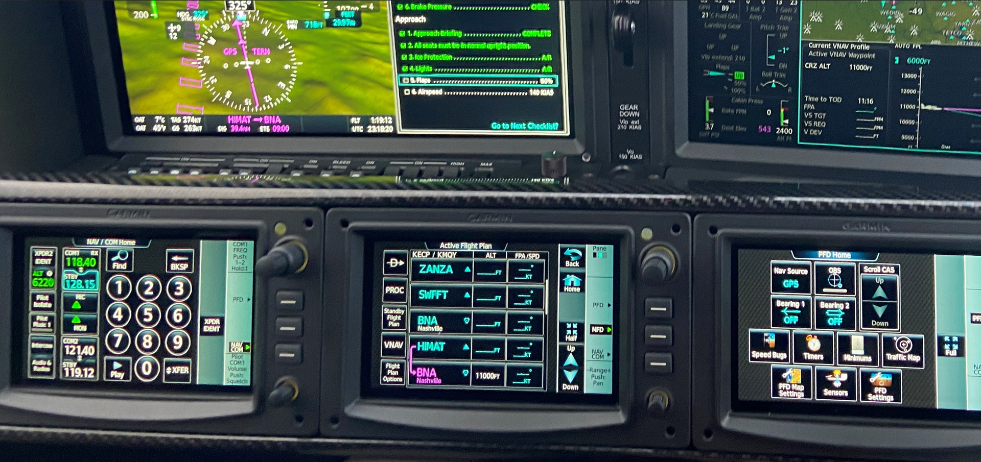
The Three “B” VNAV Technique is used to set up and verify the crossing restriction has been set up completely.
1) Build It using a VNAV Profile (in the flight management system). Select the Fix, select the distance before or after the fix and the crossing restriction altitude.
2) Bug It (change altitude selector) Change altitude selector to the crossing restriction altitude.
3) Button It (press VNAV button) on the mode controller.
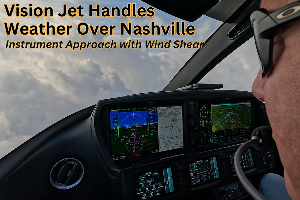
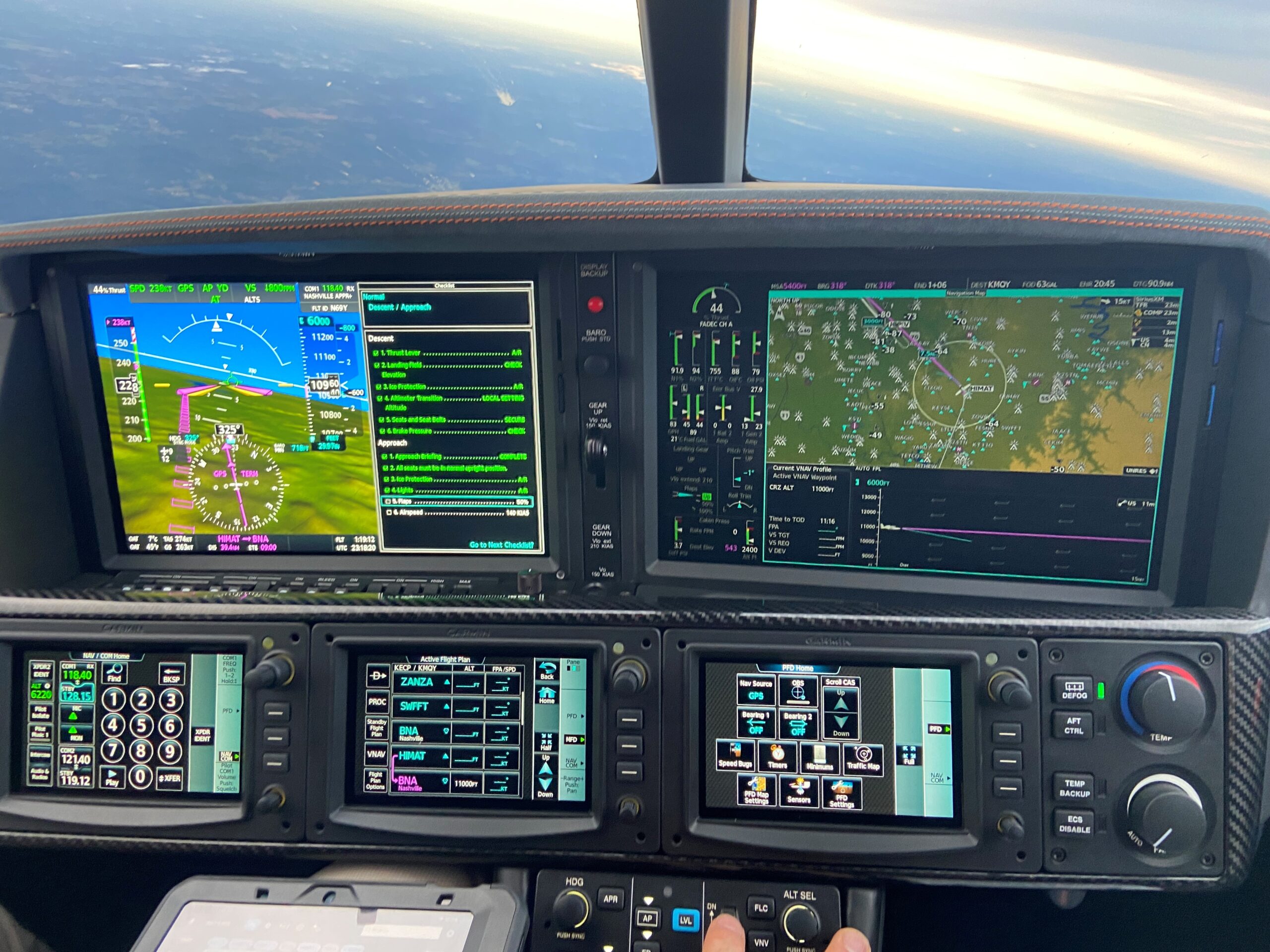
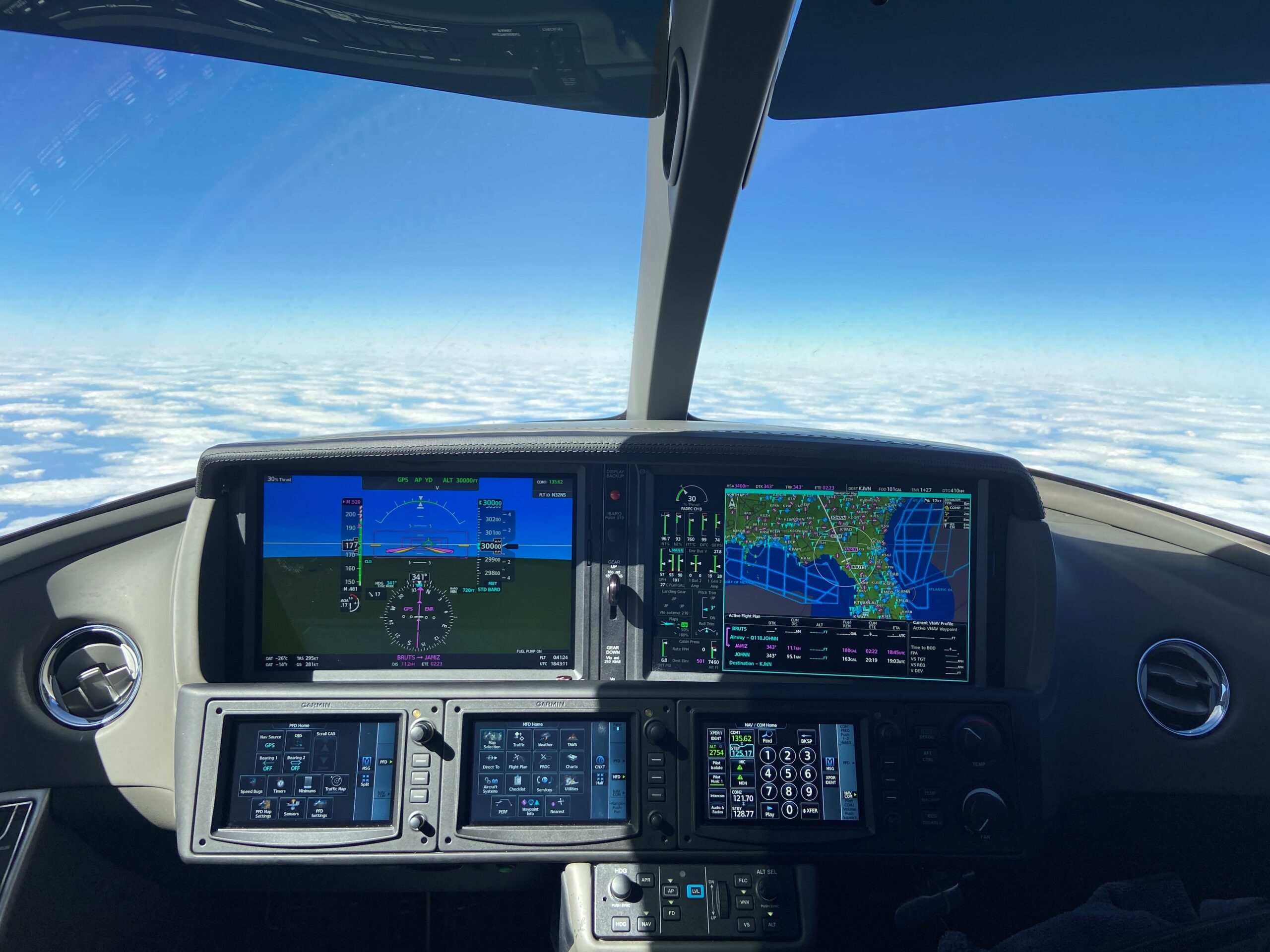
View the map on the Multi-Function Display (MFD) to look at the TOD Top of Descent and BOD Bottom of descent to verify the setup. Look at the VNAV target descent rate to make sure you can meet it. The avionics system will announce “Vertical Track” one minute prior to the TOD to remind the pilot to check the NVAV set up. Look for the cyan (blue) “Banana Bar”, which is the Selected Altitude Intercept Acr (SAIA) and make sure it is where you expected it to be along your flight plan route. SAIA will be displayed along your flight path and designate where you will reach the altitude selected when you set up VNAV. If is not where you expected it, verify your set up and fix the error.